People sometimes ask me if there’s anything to photograph in Death Valley. At 5,262 square miles of desert and mountains, it’s one of the largest national parks. The valley itself is 140 miles long. Think of it. It takes three hours to drive from one end to the other. And surely, in all that space there should be something to photograph. And yet, most of it is desert. In fact, the valley itself is the hottest, driest place on earth. It’s also the lowest spot in North America at 282 feet below sea level. So what’s to photograph?
Mesquite Flats Dunes

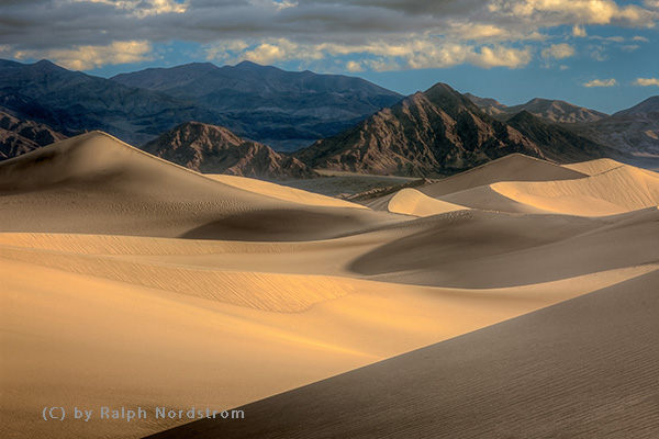
Being a desert you might expect sand dunes and you would be right. The Mesquite Flats Dunes are in the middle of the valley near Stovepipe Wells. While not excessively high, they cover a large area and provide wonderful photographic opportunities at both sunrise and sunset. I prefer sunrise which means heading out across the desert while it’s still dark to arrive at the dunes just as it’s starting to get light. I go to a place that’s not heavily visited. It’s an exciting experience.
Zabriskie Point

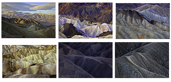
Zabriskie Point is one of the most visited places in Death Valley. It attracts photographers and tourists alike. At first it looks like an inhospitable badlands with not much to offer the photographer except a lot of tan wilderness. But at the right time of day these ‘bad’ lands become extraordinarily beautiful.

It’s all a matter of being there at the right time.
Continue reading “Photographing Death Valley National Park”
(262)
