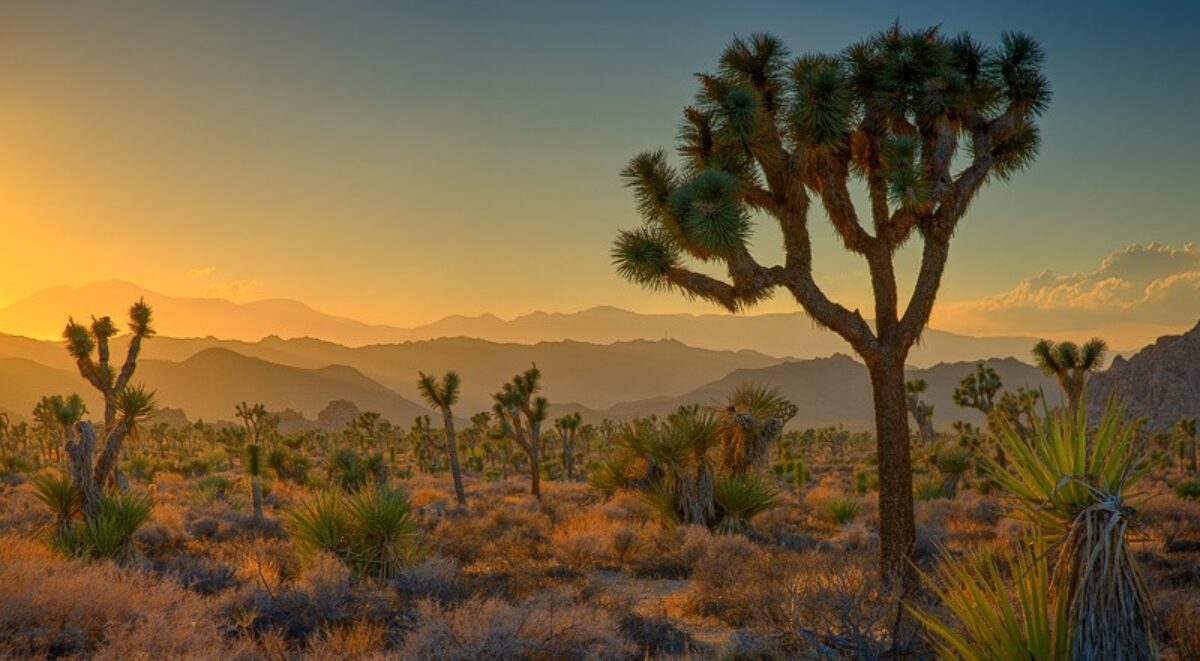
I’m on a three-day scouting trip to photograph the central coast of California from the Sonoma Coast north of San Francisco down to Santa Cruz to the south. I am preparing for the 2018 Central Coast and Napa photography workshop. The first two days covered the coast north of Frisco. Today would continue south, picking up the coast at Half Moon Bay. You can read about the first to days here:
- Photographing the California Central Coast – Day 1
- Photographing the California Central Coast – Day 2
Unlike the prior day where I didn’t roll out of my sleeping bag until 8:00, this day the alarm was set for 5:00. That’s more consistent with what I’m used to when photographing. I arose in the dark, took a quick hot shower and broke camp as silently as possible. When I left the campground it was still dark.
Gleason Beach, which I had photographed the day before, grabbed my attention in the morning light and I had to stop for it again.
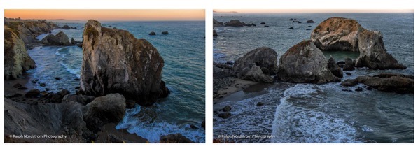
These two sea stacks that hadn’t impressed me in the afternoon stood out in the soft morning light. As with the first two days, there were occasional splashes of large waves. But, from this distance what impressed the eye didn’t impress the camera. So I was more intent on photographing the patterns made by the surf after the waves broke.
The next stretch of driving was a long one – back up to the tip of Tomales Bay, continuing on Highway 1 through Stinson Beach, up the treacherous stretch over the rugged coastal mountains and down the other side where it joins with US-101 just before crossing the Golden Gate Bridge. I continued on through San Francisco being sure to stay on Highway 1 which eventually made its way back to the coast after enduring a large dose of city traffic. It was a long drive but I eventually got to Pescadero State Park.
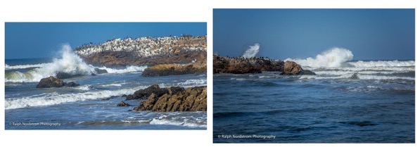
I spent a lot of time here and finally captured two decent splashes.
There were some very interesting rocks and this composition jumped out.
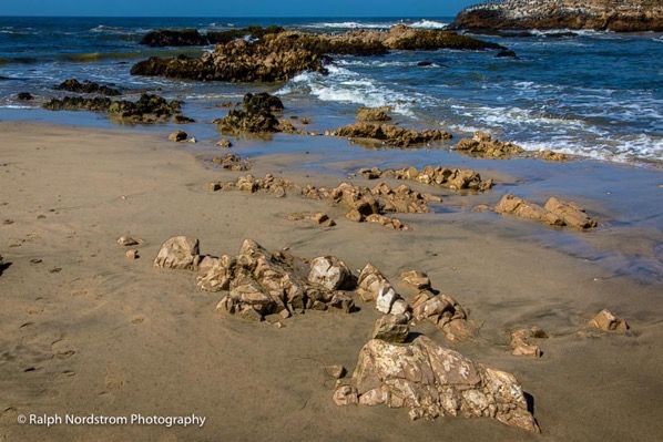
And finally, I’d like to share this abstract.
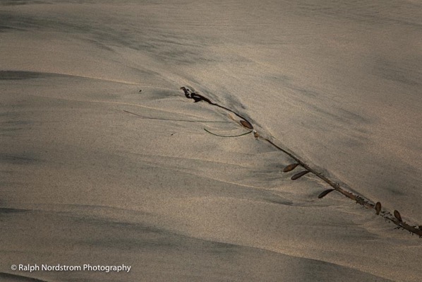
Some things are just impossible to pass up.
Pescadero Beach concluded the scouting I had planned. But there was one more stop to make, this time along the Big Sur coast. The highway was closed in May of 2017 by two landslides and one destroyed bridge. One lane of the road was reopened at the northernmost landslide in a matter of weeks. It’s still one lane. There’s more work to be done to fully clear the slide. It took five months to replace the bridge. But the large landslide was too big to clear. They had to completely rebuild the road and that wasn’t completed until July of this year. I was eager to revisit Big Sur after not seeing it for over two years.
And I also saw this as an opportunity to rediscover a view of McWay Falls that I saw years ago and haven’t been able to find since. Well, I found it. If you’re not familiar with McWay Falls, it’s in Julia Pfeiffer Burns State Park. The waterfall falls on to the beach. But what I was looking for was a viewpoint up the coast that just caught a bit of the falls. And I found it.
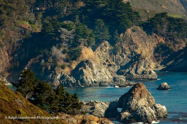
I can’t wait to take a group here, it’s so dramatic.
Well, that concludes my three days of scouting the. I’ll be returning there in November with a group and I’m excited to share this dramatic California Coast with them.
If you’re interested in joining us drop me an email. You can also check it out by clicking here.
(46)
