Photography Class on Mt San Jacinto

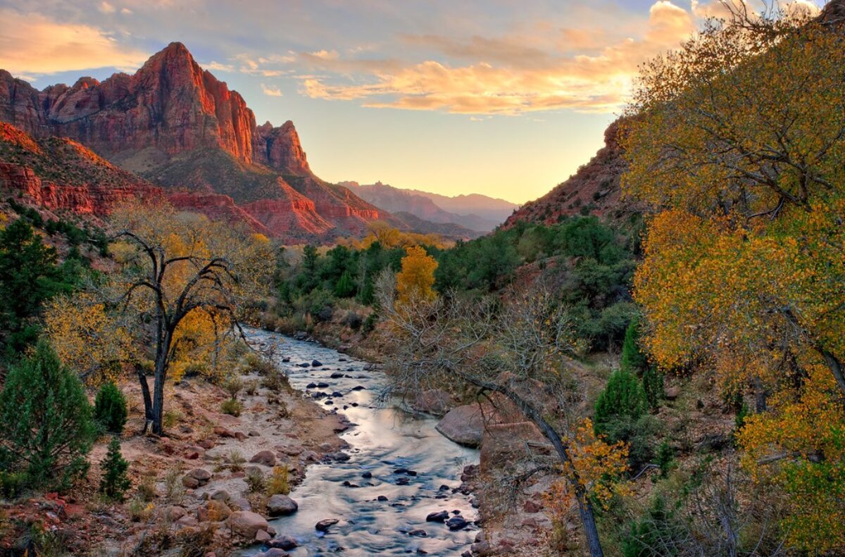
I recently taught a photography class for the Mt San Jacinto Natural History Association.  At an elevation of 10,834 feet, San Jacinto is the second highest peak in Southern California.  The Natural History Association operates in conjunction with the Mt San Jacinto State Park and has a rich program of mountain activities.  I was fortunate to be invited to teach the first-ever photography class for the association.

The class would consist of lectures and demonstrations, and be conducted in one of the meeting rooms in the mountain station of the Palm Springs Ariel Tram.  We would have a morning and afternoon shoot in nearby Long Valley,

In preparing for the class, I anticipated that there would be a large cross-section of experience and abilities, with gear ranging from smart photos to high-end digital cameras,  And that proved to be true.  So rather than getting into the technical aspects of photography, the emphasis was on the creative.  This normally consists of talking about light and composition which we took a bit of time to cover.  But the main emphasis was On Seeing.

I wasn’t sure what there was to actually See in Long Valley.  It was always something to pass through on the way to more exciting places like Round Valley or the summit,  So, to find worthwhile things to photograph, our quest became to find and capture the essence, the soul of Long Valley.

And here’s what we found…

Continue reading “Photography Class on Mt San Jacinto”

(105)

Why I Love Big Sur

Big Sur in California is beyond description. Join me as I share some of my favorite locations ane experiences along this beautiful coast.

There are some places you have to see to believe, experience to begin to understand – Grand Canyon, Niagara Falls,…  Photographs don’t begin to capture the feelings you have.  Big Sur is such a place.

Big Sur is a 100 mile stretch of the California coast that has no competition for sheer grandeur anywhere on the West Coast.  Henry Miller claimed it was the way the Creator intended the world to be.

plaskett_rock_north_2011

The first thing that comes to most people’s minds are the towering Santa Lucia mountains that plunge headlong into the blue Pacific Ocean.  And there’s no doubt, this is what characterizes Big Sur.  The mountains in some places are a mile high and drop to the sea in only two miles.  Statistics – interesting but they don’t begin to convey the feeling you have in your stomach when driving the Cabrillo Highway, the two lane road that clings to the cliffs, snaking its way from San Simeon in the south to Carmel-by-the-Sea in the north.

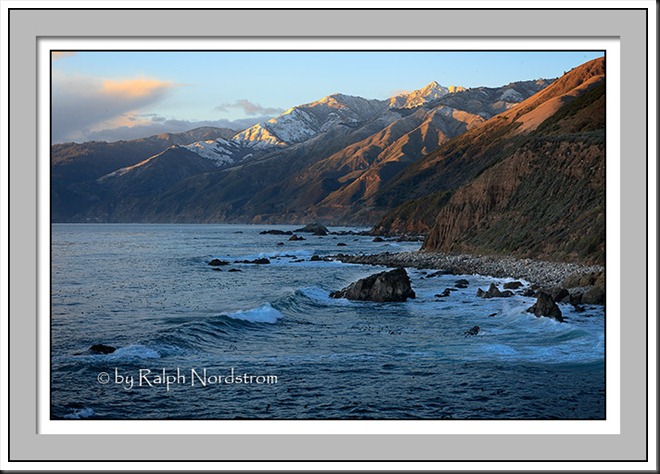
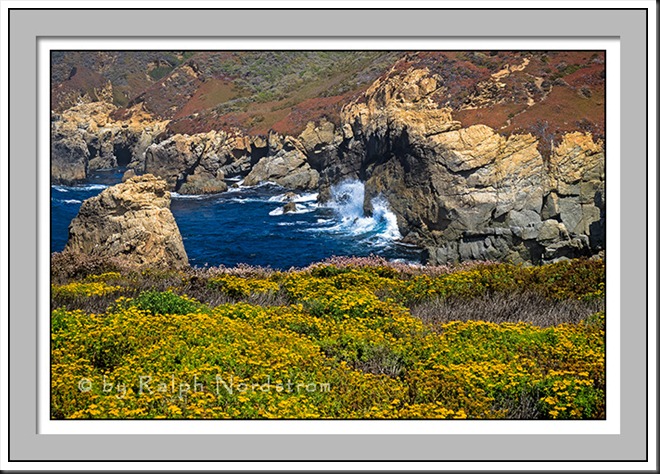
Wherever you have such a precipitous coastline you’ll find plenty of cliffs into which the surf endlessly crashes.  You can experience calm seas like the photograph above.  After all it is the Pacific.  Or you can get a little more action.

garrapata_120809


Continue reading “Why I Love Big Sur”

(1452)

Ansel Adams – The Making of 40 Photographs: Frozen Lake and Cliffs

Explore with me Ansel Adam’s comments on the making of “Frozen Lake and Cliffs.”

It was in the  ‘70s when I was backpacking through the Kaweah Gap areas of the Sierra Nevada mountains.  We were two days out and came upon this lake.  I instantly recognized it from on of Ansel Adams that I particularly liked – Precipice Lake.  It was exciting and we spent the night there.

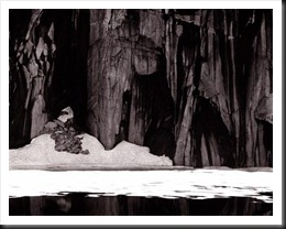
Frozen Lake and Cliffs (1932)

I’ve always been a fan of this Ansel Adams classic.   For me it has a feeling of immensity and majesty.  So it  has a special meaning to me reading about it in “Examples.”   A few things caught my attention in Adams’ narrative…

Continue reading “Ansel Adams – The Making of 40 Photographs: Frozen Lake and Cliffs”

(2135)